Humminbird® LakeMaster® Maps deliver unrivaled detail, accuracy and innovative, one-of-a-kind features you need to eliminate unproductive water and find the best fishing spots faster. For a complete listing of all bodies of water covered by this card, please use the Chart List located under the Resources tab of this page.
Compatible With
HELIX® G3/G3N and newer, all SOLIX® units, all APEX™ units and all XPLORE™ units
2D Shaded Relief
Make bottom detail and depth changes easy to spot so you can quickly identify fish holding areas.
Aerial Imagery
Navigate more confidently and find new fishing spots with the help of aerial imagery.
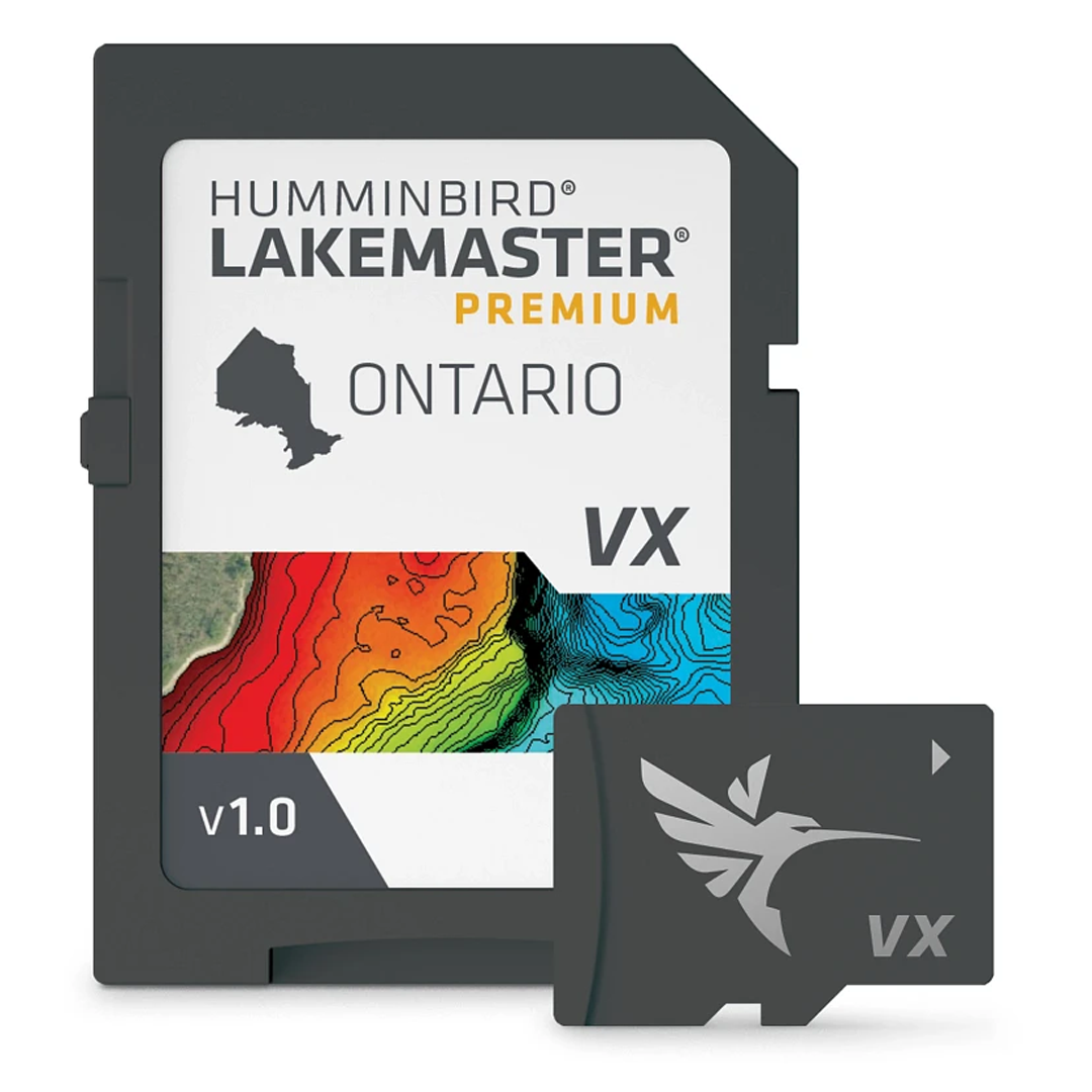
VX Technology
Provides exceptional map performance and customizable color palettes.
SmartStrike
Highlights areas of the lake map where fish are most likely biting. *Select HD Lakes Only
Chart Presets
Simple and easy to change between your own custom view settings.
Depth Highlight
Highlight a selected depth range so you can target productive water and stay where the fish are.
Shallow Water Highlight
Easy-to-see red shading highlights shallow water areas on an adjustable range from 0 to 60 feet.
Water Level Offset
Synchronize the depth contours and shorelines of your LakeMaster charts with the actual water levels of lakes, reservoirs and rivers.
One-Boat Network®
Connect your Humminbird LakeMaster® chart and Minn Kota® trolling motor, allowing your boat to automatically follow a depth contour line.
Warranty
1-Year Cartography Warranty. Opened packages are not eligible for return.
Software Requirements
HELIX 9-15 (G3N and newer) & All SOLIX require v1.031 Basemap. HELIX 5/7/8 (G3/G3N and newer) require v2.010 Basemap.